Environment and Ecology

environment - ecology - nature - habitat - gaia - permaculture - systems - sustainability ...

  • Increase font size
  • Default font size
  • Decrease font size
Home Geographical Information Systems (GIS)
GEOGRAPHIC INFORMATION SYSTEMS

GEOSTAT Quebec City 2013

E-mail Print PDF

"GEOSTAT Quebec City 2013", 26 May - 1 of June, 2013, Quebec City

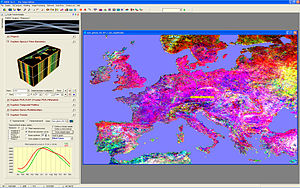
The GEOSTAT Quebec city 2013 summer school is 8th in a series of summer schools organized by R and OS GIS developers and enthusiasts. GEOSTAT aims at PhD students and R enthusiasts in a range of environmental and GIS sciences, with a special focus on analyzing spatio-temporal gridded data in R and connected OS GIS software. The participants will learn how to import and organize space-time data i.e. time series of rasters and how to program statistical and geographical analysis using a combination of R and OS GIS functionality. The school will be hosted at the Faculty of Forestry, Geomatics and Geography, on the campus of Laval University, a few kilometers from the heart of Quebec City, Canada.

Registration deadline: 1st of February 2013.
URL: http://geostat-course.org/Quebec_2013

-- Guillaume Drolet ing.f M.Sc.
Chercheur en télédétection et dynamique forestière
Direction de la recherche forestière
Ministère des ressources naturelles du Québec
2700, rue Einstein, C.RC.335
Québec (Québec), Canada G1P 3W8
T : +1 418 643 7994 # 6727
F : +1 418 643 2165
This e-mail address is being protected from spambots. You need JavaScript enabled to view it
http://www.mrn.gouv.qc.ca/forets


ANNOUNCEMENT FOR RESEARCH GRANT

E-mail Print PDF

ANNOUNCEMENT FOR RESEARCH GRANT

The University of Algarve (UAlg) offers one research grant position within the framework of the project “Remote sensing of phytoplankton variability off SW Iberia: a sentinel for climate change?” (PHYTOCLIMA), reference PTDC/AAC-CLI/114512/2009, funded by the Portuguese Foundation for Science and Technology, under the following conditions:

Scientific Area: Environment and Climate change

Requirements for applicants: The candidates should hold a Masters degree in Oceanography, Marine Sciences, Marine Biology, Biology, Informatics, Statistics or any scientific area which provides skills in data processing and analyses. Expertise in data processing, data analyses, programming, and fieldwork and laboratory techiques applied to phytoplankton ecology are considered assets.

Read more...
 

Competição Europeia de Navegação por Satélite (ESNC 2011

E-mail Print PDF

Webinar 13 de Dezembro
GeoCap: Sistema Gerenciamento de Acidentes com Cargas Perigosas

Read more...
 

List of geographic information systems software

E-mail Print PDF

GIS software encompasses a broad range of applications, all of which involve the use of some combination of digital maps and georeferenced data. GIS software can be sorted into different categories.[1] Below is a list of notable GIS software applications. Please update the listing of software below with respect to the different categories.

Open source software

The development of open source GIS software has - in terms of software history - a long tradition[2] with the appearance of a first system in 1978. Numerous systems are nowadays available which cover all sectors of geospatial data handling.

Desktop GIS

The following open source desktop GIS projects are reviewed in Steiniger and Bocher (2008/9)[3]:

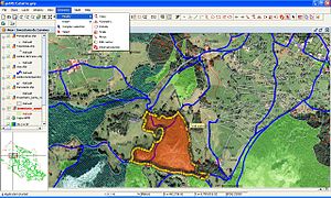
gvSIG 1.0
  
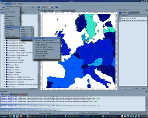
GRASS GIS 6.4
  
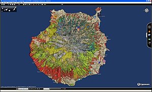
Capaware rc1 0.1
  
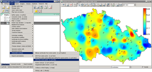
SAGA-GIS v. 2.0.3
 
Whitebox GAT 1.0.2
  
IDRISI Taiga 16.05
Read more...
 
  • «
  •  Start 
  •  Prev 
  •  1 
  •  2 
  •  Next 
  •  End 
  • »


Page 1 of 2

Choose Language


The GURUS & ACTIVISTS